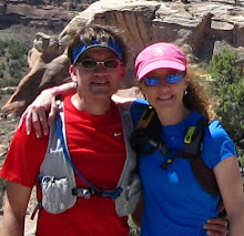
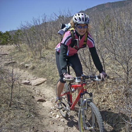
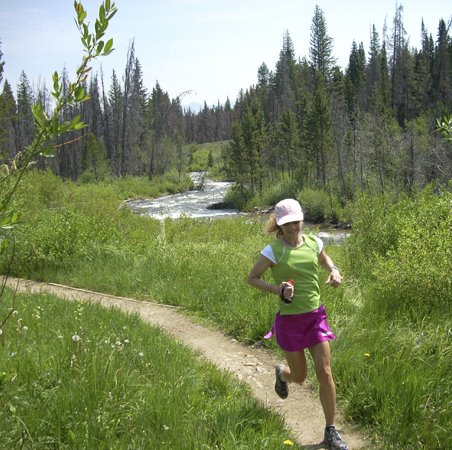
If you’re lucky enough to be in the mountains, you’re lucky enough!
Showing posts with label Maroon Bells. Show all posts

Sunday, August 26, 2012

Good times in Aspen/Snowmass!

It was time for a little vacation and boy did we have a great week!  What better way to kick off a vacation than to have some great friends visit all the way from South Carolina.  A & J used to live within walking distance to us, but followed their roots back to SC more than a decade ago.  Dang we miss having them around!  So day one of vacation was a "staycation" day.  We did some tourist stuff, showed them around the Waldo Burn area, did a bunch of shopping, ate at Adam's Mountain Cafe in Manitou, and just had an all-around great day!  Mr A had a seminar in Denver all week, so they headed off to D-town Sunday evening and we packed up the wagon for a little trip to the mountains.
 Good times with awesome friends!


We have been chomping at the bit to get out to the mountains for a bit of new scenery.  Hope the intercooler is tuned up on your PC or Mac, as the photo dump is on!  Seems like with the fires and all, summer was really hacked up for us, at least schedule-wise.  So we booked some time in Snowmass Village and hit the road.  Monday it rained all day in the mountains driving up, and pretty much rained until late night in Snowmass (much needed rain).  Tuesday we woke to "sort-of sunny" skies and thick humidity.  It seems that a bunch of hazy smoke from wildfires in CA, WY, and MT all converged on the Rocky Mountains and sat there for days on end.  It never really smelled smoky, but boy did it put a dent in the scenery photos...
 Kathleen climbing the Rim Trail out of Snowmass Village
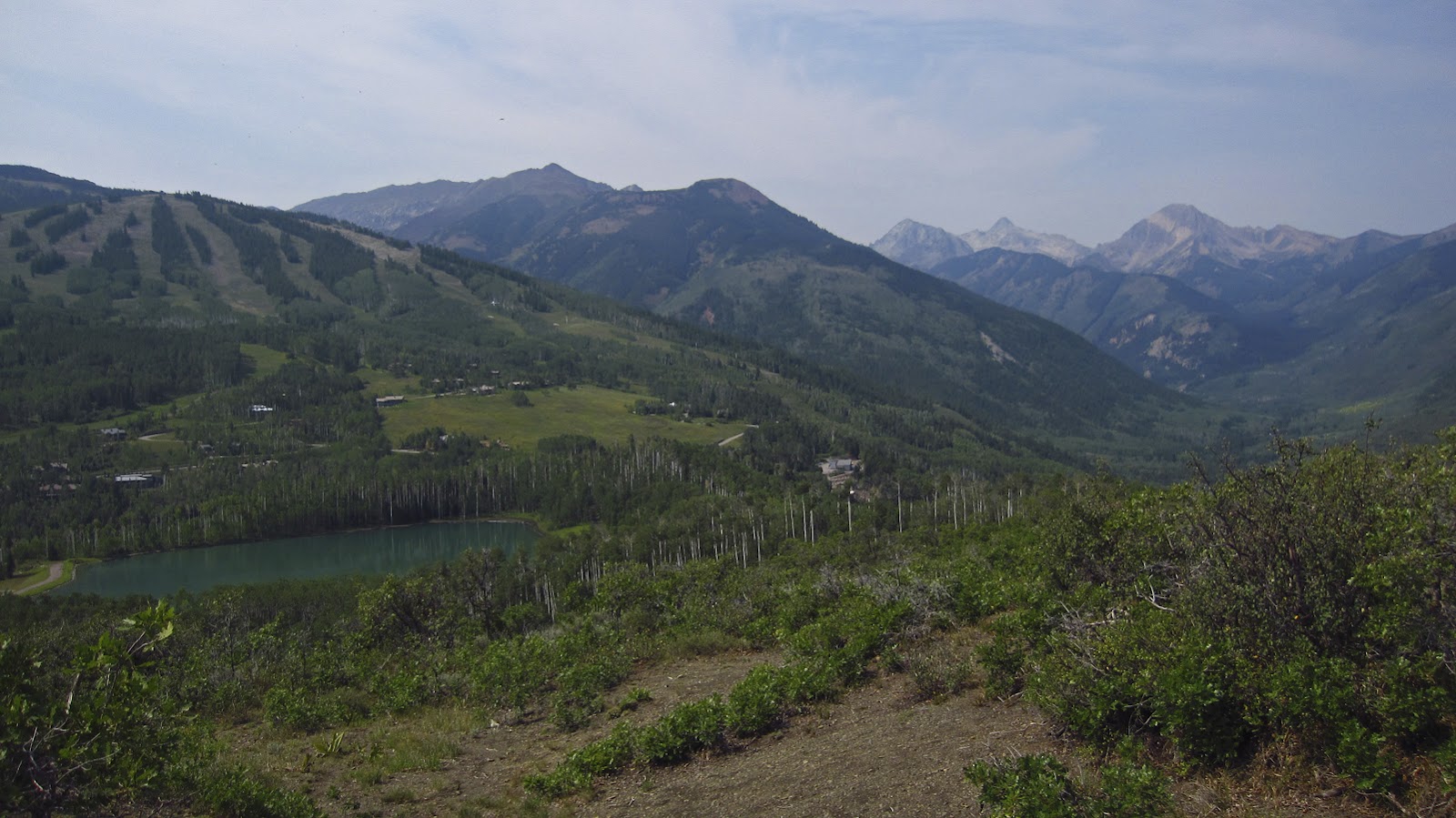
 Snowmass Divide and Mt Daly from the Yin-Yang Terrace on Rim
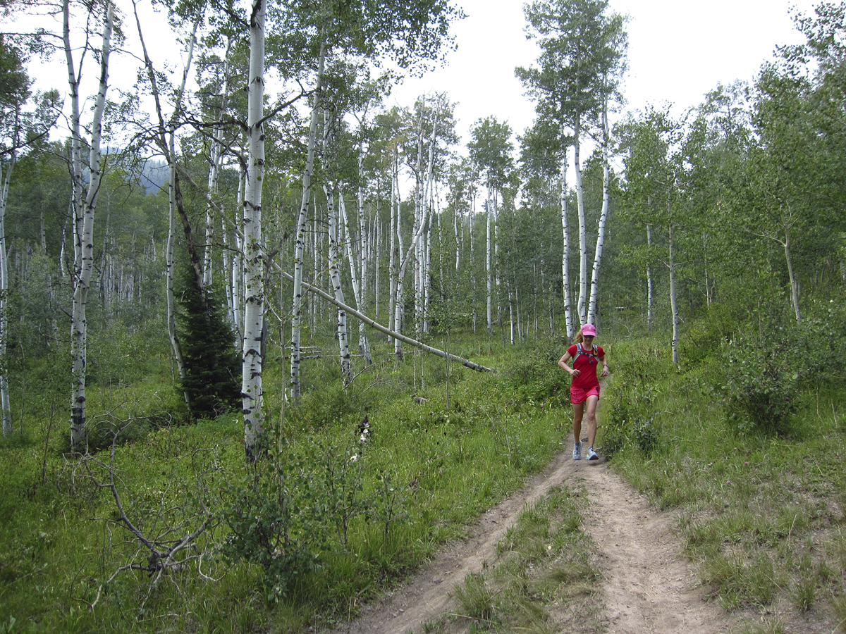
 Sweet singletrack through aspen forests - could it be much better?
 Kathleen climbing up on the exposed ridge - we are well above Snowmass at this point
Aspens anyone? Making the descent toward Lower Snowmass

Day one on the trails was perfect to wet the appetite - 11 miles of perfect singletrack and a great way to get rolling!

***********************
 The Bells on a hazy day

We missed out on riding the road bikes last time we were in Aspen, so we knew we had to ride the Maroon Creek road up to Maroon Lake and the base of the Maroon Bells.  The road is mostly closed to passenger vehicles during the day in the summer, so traffic is limited to tour buses every half hour and the occasional early-bird that got up to the Bells before the road closes.  The Maroon Creek road is just over 9 miles and climbs gradually to around 9600', where the expansive view above greets you.
 Sievers Mountain rises to the north of Maroon Lake
 HT decked out in bike gear for a change
 This little guy got a piece of our Snickers Bar that fell to the ground - 
then he followed us around the sidewalk as we were leaving!

We had a great day on the bikes, riding around downtown Aspen for a bit to grab lunch after descending Maroon Creek.  The ride ended up around 30 miles and was plenty of saddle time since I have not been riding much!

******************************
 Starting out on the Sleigh Ride Trail

Thursday we wanted to get in some quality time on the Government Trail, one of the premiere trails in the area.  It starts out on the Snowmass Divide and continues south, crossing Snowmass Ski Area and Buttermilk Ski Area before dumping out near Maroon Creek Rd.  We had plans for a loop starting out at the top of the village and then finishing in Lower Snowmass, catching the transit back up to the village for a sweet point-to-point run.  We used the Sleigh Ride Trail and Ditch Trail to get over to the Campground Connector, which would take is up many switchbacks to the Government Trail.
 Kathleen way below, under the Campground lift
 Finally on the Government Trail
 One of MANY stream crossings
 Coming up would certainly be anaerobic frenzy, but going down
was more like a footwork nightmare!
 Kathleen drops in from Government Trail

We took Government Trail all the way across Snowmass Ski Area, left the park boundaries, and finally connected to Anaerobic Nightmare Trail.  This trail is, coming from below, basically straight up and covered in gnarled roots.  We, however, were going down the trail and it was a foot placement puzzle at high speed, dropping 600 feet elevation in .6 miles!  And of course I biffed on it and skinned up the right knee.
 New trail - The Iron Curtain
 These bucks were so large, I first thought they were elk when I startled them at the "salad bar"

We finished off the descent on the lower Tom Blake Trail, where Kathleen peeled off to catch the shuttle after 11 miles and I took the Blake Trails back across to the Village to end up at 14 - another fantastic day!

*************************
 Kathleen in the wildflowers
 Oh, and more aspens - loved this stand of trees on Tom Blake trail
 Good Times!

Took the Snowmass tour via the Tom Blake Trails on Friday for a shorter 8 mile outing.  The run was 100% sweet twisty singletrack and the scenery, as always, was priceless!
 Oh, and we had to stop by and see how work on the new house was coming along.  As if....

************************
 Mt Daly, with it's signature granite stripe

 While not peak season, there were still plenty of wildflowers
 Kathleen runs out the Ditch Trail along the Snowmass Divide
 Time for a group photo
Running the divide, with a nice view of the Snowmass Creek road heading out the valley

As is always the case, we didn't want to pass up one last opportunity to grab some trails before leaving.  We ran out the divide to the intersection with the Snowmass Creek drainage before loading up and heading for home.  A nice little 5 mile jaunt to help ease the boredom of the 3.5 hour drive!
 Views from Independence Pass
 That first switchback off the east side takes your breath away - no guardrails
All downhill from here - Happy Trails!

Wednesday, August 22, 2012

Coming Soon...

 The Maroon Bells
Rim Trail - Snowmass

We had an awesome time last week in the Aspen/Snowmass area, running some spectacular trails and doing a little road biking.  We are busy going through scads of photos getting ready to do a big post, so keep an eye out.
We also had a blast last Sunday watching the finish of the Pikes Peak Marathon, watching a lot of friends and local folks finish a big run on America's Mountain, as well as "star-gazing" - Pikes drew some national and international running talent this year.  Good times - be back soon with details on a great week.

Happy Trails!

Sunday, August 22, 2010

Mark One off the Wish List

Last August, we were poking around on Ted & Christy's blog when we discovered this post.  We had recently been in the Aspen/Snowmass area on the tail end of a trip to Iowa and knew we wanted to get back up there for some more of those trails.  After reading the Birthday Run post, we have been bent on getting back to the area and running the BIG trails.  You must understand, those two (& their friends) live out on the big mountains, so this may be an everyday run for them.  We knew it was going to be big, both on effort and scenic splendor, and quite possibly harder than any run we have done.  All the better.

We have ridden the road bikes up to Maroon Lake and seen the Maroon Bells from down low previously, but this would be our first venture past the shores of the lake.  The Maroon Creek road is closed to traffic from 9-5 in the summer, but a shuttle runs every 20 minutes up to the lake starting at 9:05.  This worked out perfect, as we were planning a one-way run starting at the lake and ending in Snowmass Village.  After studying the map, and looking at Ted's run, we shot a few emails off, and with his help and trail info, decided to do a little variation of their run.  Instead of taking Willow Pass and heading down East Snowmass drainage, we would take Buckskin Pass, drop down to Snowmass Lake, and head down the Maroon-Snowmass drainage.  So we studied the bus schedule, made our two transfers, and were on the first shuttle out Tuesday morning.  There were some silent nerves on the way up, but for the most part it was Game On as the bus deposited us at the lake at 9500'.  A picture is supposed to paint a thousand words, so hopefully these adequately paint our awesome day on the trails.  Click on photos to enlarge.
Step off the bus, and this is your view...
Maroon Peak (14,156') and North Maroon Peak (14,014')

These two peaks are stunning.  Not much needs to be said, as these are two of the most photographed peaks in Colorado for good reason.  The way we approached Buckskin Pass, it is an optical illusion as North Maroon always looks taller because it is the closest to you.  If you have ever done or read about the Four Passes Loop, we were starting out on the northern side of that loop.  This loop is generally a multi-day backpack loop, covering 27 miles and ~8000 vertical gain.  However, it has become quite popular with the ultrarunning crowd as as single-serving event.  We're not there.  Yet....
Breathtaking
Crater Lake - 10,076' - we've only just begun
Dwarfed by nature's majesty

I tried to capture a nice panorama here, but single photos probably do not do justice to the majestic surroundings you find yourself in on this route.  We were ascending a ridge across valley from the north end of the Maroon Bells Massif and it was like being in IMAX with a stiff neck - you just could not swallow it in all at once.
A large majority of the trail was this technical - I wouldn't advise flip-flops...
Little, tiny Steve in a Big, Big valley
Fork in the trail - we're going left

We arrived at the fork for Willow Pass, and the departure from the Birthday Run route we had been digesting for almost a year.  The gray shoulder on the far left is Buckskin Pass and it looks sooo close here, but is still quite a few switchbacks away.
Pyramid Peak (14,018') - note the tiny hikers on the trail to the left
Are we there yet??  Notice the wildflowers.
Buckskin Pass 12,480' - Ever been so excited to do 4.09 miles in 1:23:40???
Reach the summit, look west, and attempt to pick up chin from ground...
Right above treeline in the center is Snowmass Lake - we're headed there!
This is some BIG country!

We had to stop for a minute to take in what we had just climbed to get to the pass.  We knew the scenic value would be high.  However, on the approach up Buckskin, you see nothing to the west.  The last step up, you look over the edge to the scene above and get chills (from the scenery - the chill from the strong wind came second...).  I made the comment upon reflection afterward that I felt the scenery came close to bankrupting the English language for appropriate description.  I still feel that way 5 days removed.
Group shot on top of the pass, with North Maroon over the left shoulder

It was quite windy at the top, so there is some sketchy sound.  Hope the 360 degree view gives a decent glance at what you experience - maybe you'll want to go here now!!!
Heading off Buckskin, note the hiker coming up - bottom center
Dropping in off the pass - some of the smoothest trail we had all day
Finally, back down in some trees

It did not take long to shed a quick 1500' off the back side and the descent was only just beginning.  One of the interesting things about point to point runs is the potential disparity between ascent and descent totals.  As big as this run was, and as long as it seemed we had climbed, we would end the day with 1000' more descent than ascent.  Weird.  By the time we got below 11,000' we were able to shed our sleeves and the sun was warming nicely.  It was a phenomenal day of weather, which was good as I don't know that this is any place to get caught in a bad storm.
Cool, awesome, wow, etc.!
Kathleen crosses Snowmass Creek
Leaving the Four Passes Loop

At the junction with Snowmass Lake, we headed north down the Maroon-Snowmass trail, officially leaving the Four Passs Loop and heading down the Snowmass Creek drainage.  From here, it was 7 miles and another 2500' or so of descent to the Maroon-Snowmass trailhead.  The trail is well defined and this network obviously has plenty of use.  The trail follows the creek on one side or the other the whole way down and is, for the most part, technical especially for running.  There is not ever a point where you can become lazy with the footwork unless you have family in the dental/plastic surgery line of work.
Unnamed lake, dammed by deadfall at the end of an avalanche chute
The "trail" across to the east side of the creek

We came to a dead-end in the trail on the west side of this little lake and got a bit nervous.  We backtracked a couple hundred yards and realized that the "trail" was across the Lincoln Logs at the end of what appeared to be an avalanche chute coming down the west side of the drainage.  Tricky.
Finishing a long day, just above Snowmass Creek

Luckily, we had some info from Ted beforehand on finishing out this route.  At the trailhead for the Maroon-Snowmass trail, we had to catch the Divide Road up and over the shoulder of Snowmass Ski Area and then drop down the Nature Trail into the Village.  And at the end of a day like this, the "up and over" part was a bit sharp.  About a mile and a half of switchbacks on an old dirt road with almost 700' of climb - finish off those legs, right?  We ran down into the village and headed straight for a caloric input zone, or Big Hoss Grill at Snowmass Village.  With apologies to our vegetarian friends, this was not a "salad" run - it is a "carnivore especial" and it was time for some animal proteins to repair some muscles!!!  Hope no one at the Big Hoss was offended by our salt-streaked clothes and disheveled appearance but it was the perfect way to end a day like this.  WE.NEEDED.GRUB. FAST. 

I would have to say this was our hardest run ever, not only physically, but mentally.  With about 13 trail miles of pounding descent, there was some heinous leg abuse going on and at times it played with the mind a wee bit.  Yet, it was also one of the most rewarding days of human-powered effort we have put forth and will remain etched in the memory banks as a solid introduction to running in the big mountains, beyond just trail running.  This run has been in the "bucket" for a little over a year and it was a blast to check it off the list.  I'm not big on bucket lists, at least as far as races go since I don't really get into the race thing.  Kathleen does a little more, so her opinion may be a shad different than mine.  Gotta throw a Thank You out to Ted & Christy for inspiring this run (and maybe some future prospects, too...)!

Here are some stats:  19 miles, 5200' elevation gain, 6240' elevation loss.  We spent most of the day in the Maroon Bells-Snowmass Wilderness and for foot traffic access only, there has been some phenomenal trail work done in there - Kudos!  this was the first time ever to run above 11,000' and 12,000' elevation - it does affect you, as slighter grades become noticeably more labored than they are at 6000 - 9000 feet. And on this run, the continuous technical/rocky terrain added to the challenging effort.

Happy Trails!!

Shoes - K Asics 2150 Trail
S - Asics Trabuco
Related Posts with Thumbnails