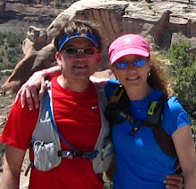
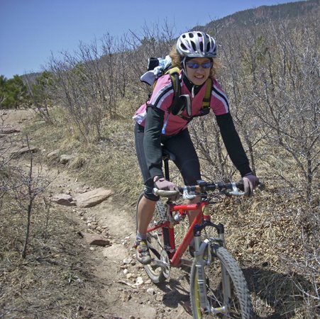
Becky made the suggestion of trying out a popular mountain bike trail in the southwest part of town, Jones Park, in Cheyenne Canon. A little different route than the normal route was recently profiled in our local paper so we thought we would try it today. For many people who ride Jones Park, it is a "shuttle" ride, ie mountain bikers get a ride to the top and ride the 14(?) or so miles DOWN to the bottom, ride terminus. If ridden as a loop, the total mileage is around 30ish miles. Since Becky and I are REAL mountain bikers (a little tongue-in-cheek here), we don't do shuttles or ski lifts to the top. We EARN our downhills by climbing to the top of mountains by our own power (picture a little muscle flexing). :-) So, with lots of water and fuel, and another perfect sunny bluebird day, we headed out in search of the Jones Park Downhill. The ride starts out at the top of Cheyenne Canon, on Gold Camp Road. Gold Camp is a dirt/gravel road that is closed to cars for a nine mile stretch and is a gradual, steady middle ring climb on the bike. One of the reasons Gold Camp is closed to cars is due to one of the tunnels along this stretch collapsing. The picture above shows the gate to the closed, collapsed tunnel. The trail travels above the tunnel and then drops back down to Gold Camp.
 Above is one of two good tunnels we ride through along Gold Camp. See the light at the end of the tunnel??? Wierd thoughts go through my mind whenever we ride through these, like: Are there bats waiting to swarm us? or, What was that big bump I just ran over but couldn't see??? Is there an ax murderer waiting in the shadows??? Hmmmm . . .
 It was a gorgeous day! The aspens are just starting to change color.
 We are about 11 miles in and nearing the top of the route (we think.). Yahooooo! Just a few miles to go! This is a nice view near the "top" with Colorado Springs in the distance. We have gained a fair amount of elevation. Gold Camp has joined with Old Stage Road and we are now looking for a "faint trail off to the right, near some cabins". Well, we found the "faint" trail. Or we think we found the "faint" trail.
R-I-G-H-T! It basically is a bunch of weeds sort of flattened out by maybe two people walking through (now four, since Becky and I walked up and through!). Basically, it is plain old bushwhacking. The "trail", ahem, then goes straight up - and over rocks, boulders, weeds, trees, bushes, whatever. We knew there was supposed to be a couple of "short" hike-a-bike sections, but, what defines short? A few feet? A 100 yards? A half mile? Three miles???? Personally, if I am going out for a hike, I don't care to wear stiff, hard plastic soled bike shoes with metal cleats in them. Although I LOVE to RIDE Mr. Mountain Bike, I do not care to push, carry, or hike with Mr. Mountain Bike up mountains. And by the looks of the terrain staring down at us - UH - OH. So there we are, Becky and I, not saying a word, just looking at this steep, tangled maze of so-called "trail". Hmmm, what to do? We don't want to give up and not get our just reward - the screaming fun downhill - but neither do we want to hike up THAT and potentially get lost. Nope. So we are both quiet, looking down at the ground, kicking around a little dirt . . . then Becky comes through and saves the day, "I need to make sure I get back in time to pick up the boys from school . . . if we keep going, do you think we can make it back in time and not get lost . . .". To which I answer with a sigh of relief," Yeah, it might be a good idea to head back the way we came and come back another time with our hubbies and have more time to explore." I look up and she's on her bike, down the little bushwhack trail, headed down the road!
 So, we chickened out, turned around and headed back the way we came. Oh well. We still had tons of fun. We paused for a few pics by this little waterfall . . .
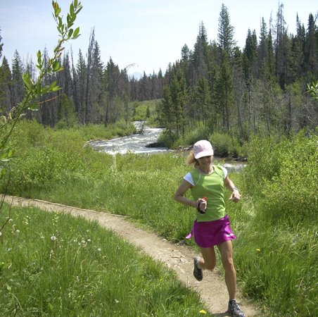
 . . . and then by this little creek. Now we will have to drag the hubbies out so we can complete our search of Jones Park. No shuttle ride either! Hopefully you all will be able to get out and savor your rides and runs this weekend and earn your downhills! Happy Trails . . .
 We had our fall vacation this week, so we decided to head down to Taos, New Mexico for some recreation and some relaxation. We have been to Taos several times but have not been down there since about 6 years ago. Aside from Bandelier National Monument in Los Alamos, we have not done any trail running in the area and were looking forward to a little dirt under foot!
 We rented a nice casita on the Taos Mesa and had great views from the back patio. To the east, we had views of Taos Mountain, home to Taos Ski Valley. To the south and west, we had nice views of the Sangre De Cristo mountains.
 Kathleen and Sage get settled in for a nice week in the sun. Forecast was for upper-70's to low 80's each day and it did not let us down!